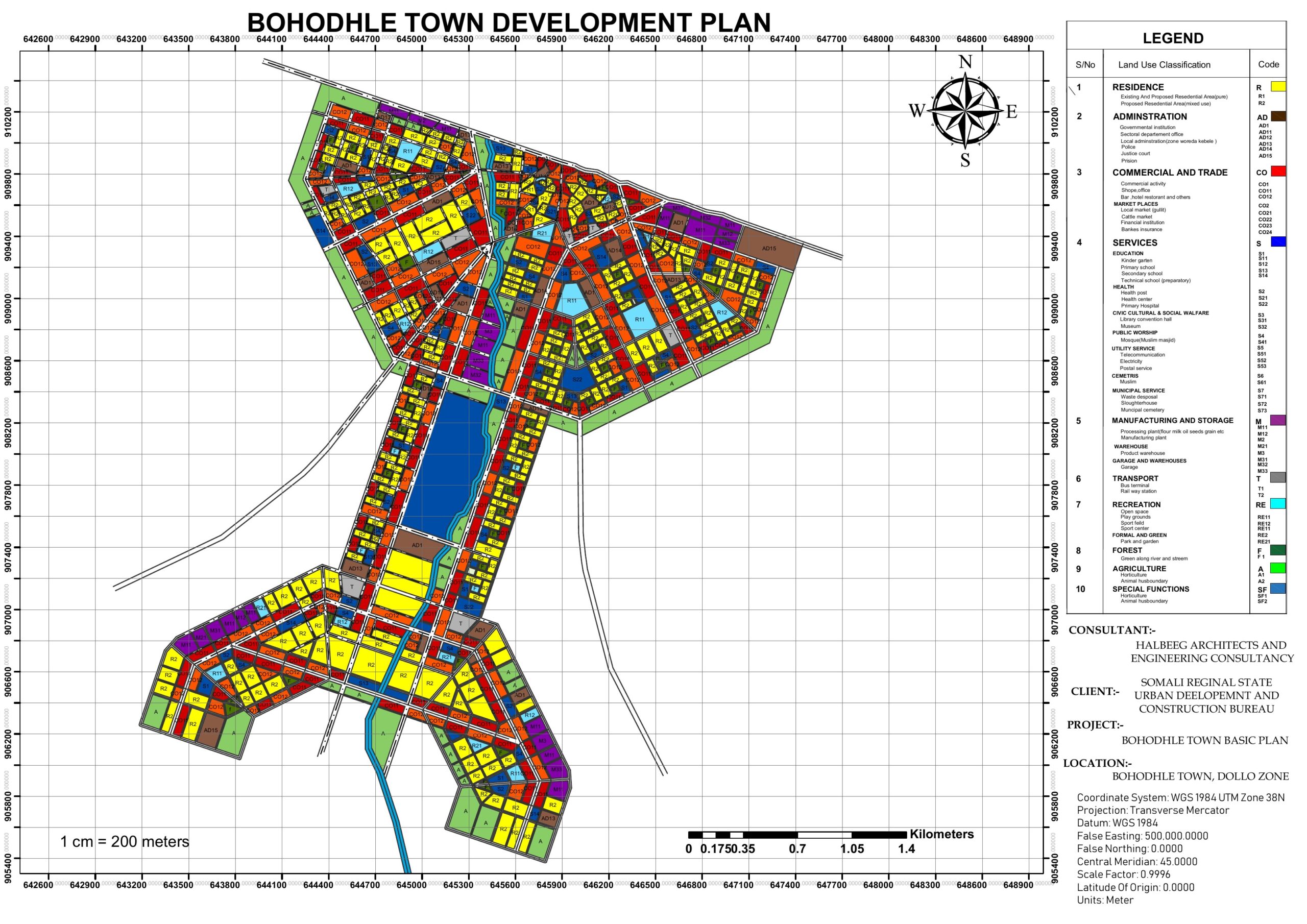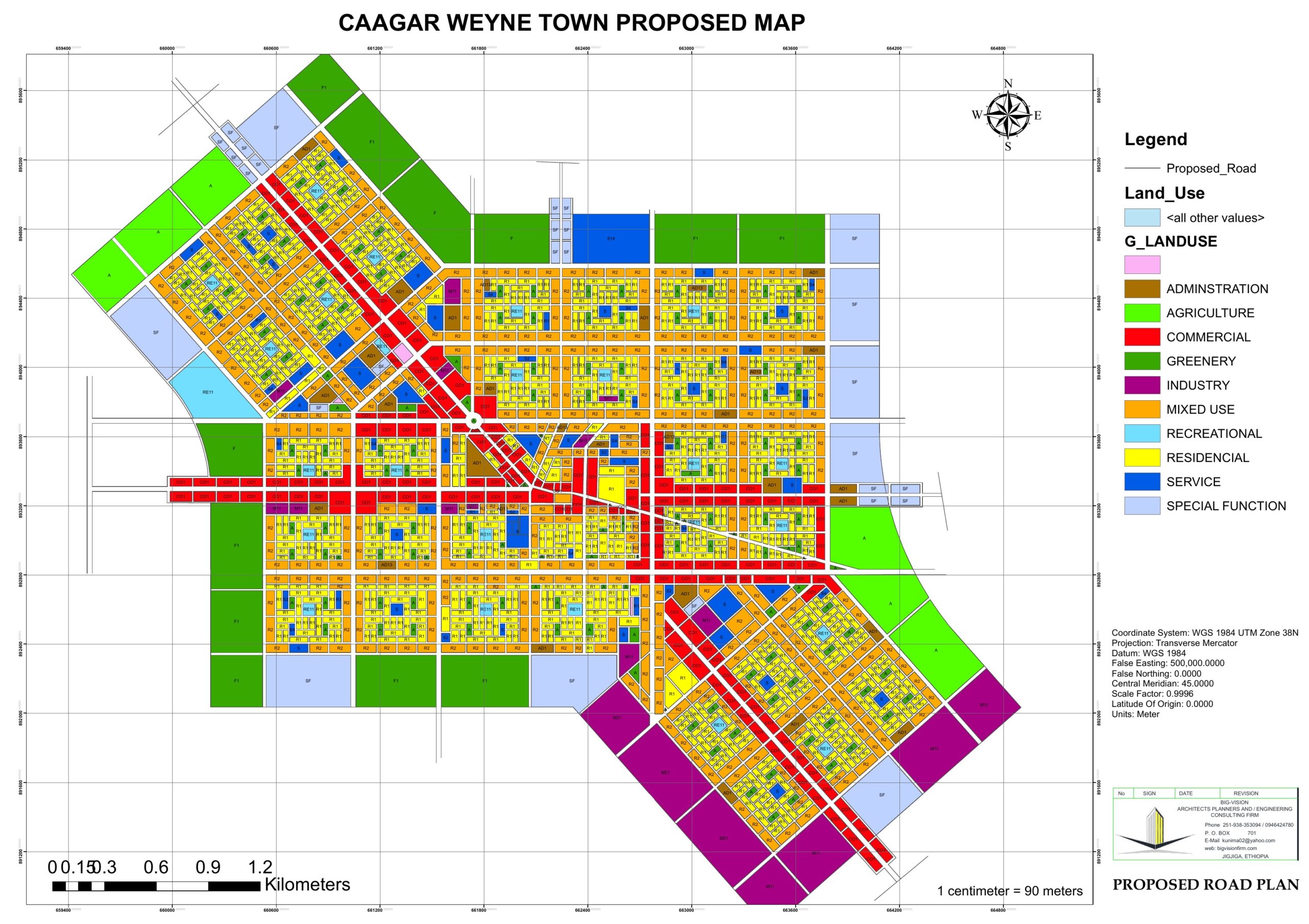

An implemented town development plan coordinating land uses, public services and transport connections in Bohoodhle.
The Bohoodhle Town Development Plan provides a spatial framework for residential neighbourhoods, commercial activity, administrative facilities, public services and transport connections.
The land-use plan also identifies areas for manufacturing and storage, recreation, greenery and agriculture.
Big-Vision Engineering Consulting Firm contributed through implementation of the development plan. The source planning map credits Halbeeg Architects and Engineering Consultancy as consultant and the Somali Regional State Urban Development and Construction Bureau as client.
Development plan map